The "Whiskey" Route
Machame Route
Kilimanjaro's most popular route: rainforest, the Lava Tower and the Barranco Wall.
Foto: KpokeJlJla, CC BY-SA 4.0
- Duración
- 6–7 días
- Distancia
- 62 km
- Cumbre
- 5,895 m
- Alojamiento
- Acampada
- Afluencia
- Muy concurrida
- Dificultad
- Exigente
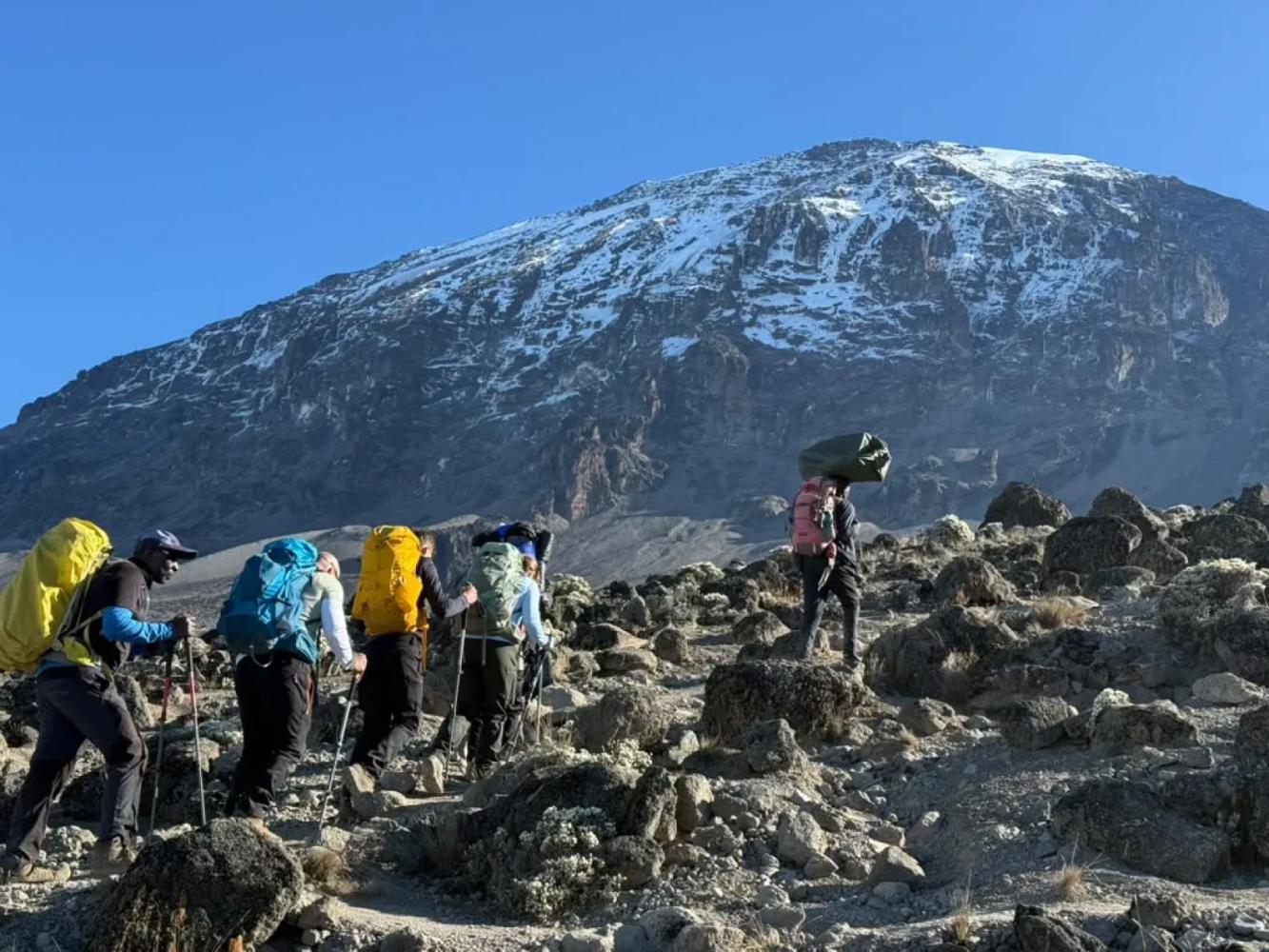
The Machame Route climbs Kilimanjaro from the south-west in 6–7 days, through every climate zone, with a "walk high, sleep low" day at the Lava Tower and the famous Barranco Wall.
The Machame Route is the route most people picture when they think of climbing Kilimanjaro. It starts at Machame Gate on the mountain's wet south-western slopes, climbs through dense rainforest to the Shira Plateau, traverses beneath the southern glaciers and summits from the east. About 62 km long, it is nicknamed the "Whiskey" route because it is tougher than the hut-based Marangu ("Coca-Cola") route.
Why the Machame Route Works
Machame's great strength is its shape. On day three you climb to the Lava Tower at 4,630 m, then drop to sleep at Barranco Camp at 3,960 m. This "walk high, sleep low" day is the single best thing you can do to prepare your body for the summit, and it is built into the route. The seven-day version adds a night at Karanga Camp, which splits the long day before the summit in two and noticeably improves summit success.
The Barranco Wall
The morning after Barranco, the trail climbs the Barranco Wall, a 257 m rock face that looks far harder than it is. It is a scramble, not a technical climb: you use your hands in places, there is one step known as the "Kissing Rock", and it takes one to two hours. For many climbers it is the most enjoyable part of the whole trek.
Summit and Descent
From high camp the route climbs through the night to the crater rim at Stella Point (5,756 m), then follows the rim for about 45 minutes to Uhuru Peak (5,895 m). The descent is by the Mweka Route, straight down the southern slopes to Mweka Gate, so you never retrace your steps.
Por qué elegir esta ruta
- A built-in "walk high, sleep low" day at the Lava Tower (4,630 m)
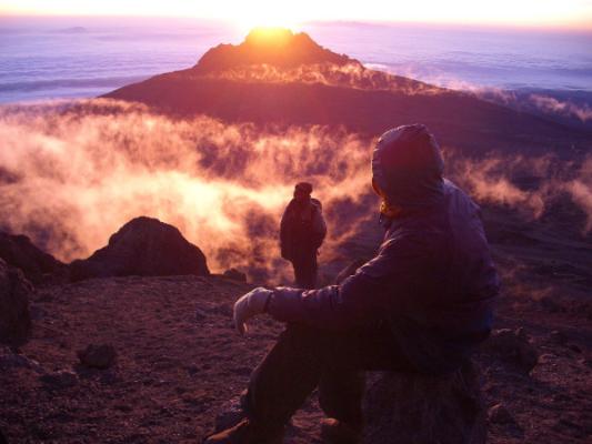
- The Barranco Wall scramble, with views across to Mount Meru
- All five of Kilimanjaro's climate zones in a single climb
- A different way down: descent by the Mweka Route
Información útil
- It is the busiest route on the mountain, especially June to October
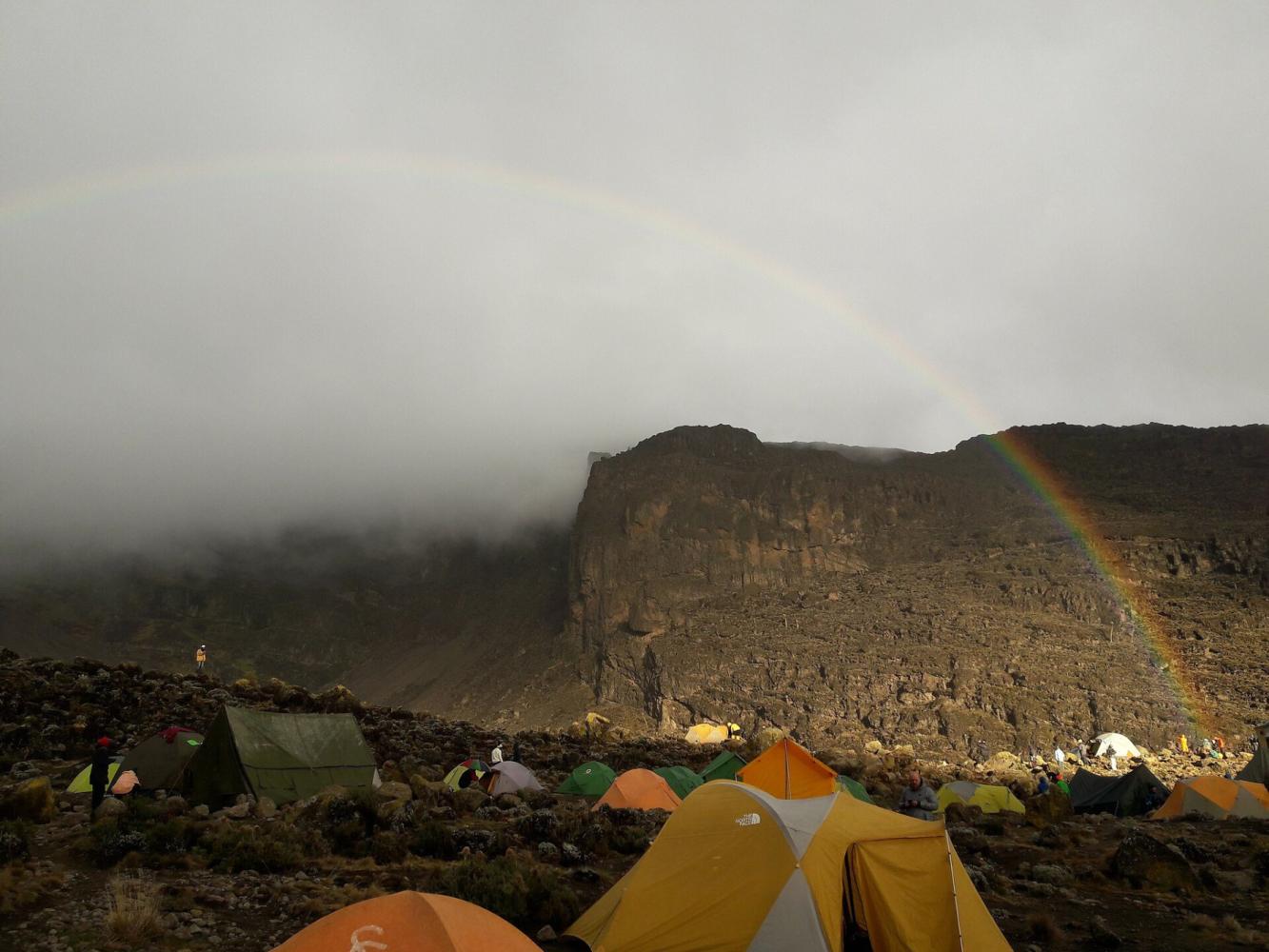
- Camping only: there are no huts on this route
- The six-day version skips Karanga Camp and has a lower summit success rate; we recommend seven days
- Our climbs summit from Kosovo Camp (4,800 m), a permit-only camp above Barafu that shortens summit night by about an hour.
Mapa de la ruta
Mapa de la Machame Route
El sendero tal como discurre sobre el terreno, con cada puerta, campamento y punto alto. Toque un lugar de la lista para verlo en el mapa.
Altitud
Perfil de altitud
Hasta dónde sube y dónde duerme. Las bajadas en la línea son días de «subir alto, dormir bajo», que ayudan al cuerpo a adaptarse.
Día a día
Itinerario de la Machame Route
Este es el plan que seguimos en nuestro «Kilimanjaro, ruta Machame – 7 días».
Traslado desde Arusha a la puerta de Machame, registro y salida por una selva densa, por un sendero constante y bien trazado, hasta el primer campamento en el límite del bosque.
Noche: Campamento Machame
Se deja atrás el bosque y se sube por una cresta rocosa entre brezos gigantes hasta la meseta de Shira, con vistas del Kibo y, sobre las nubes, del monte Meru.
Noche: Campamento Shira Cave
Un día clave para la aclimatación: subida a la Lava Tower para almorzar y descenso al valle de Barranco, donde crecen senecios gigantes bajo el Breach Wall.
Noche: Campamento Barranco
Trepada por el Barranco Wall y travesía por las crestas y valles del circuito sur hasta el campamento Karanga, con los glaciares del Kibo muy cerca.
Noche: Campamento Karanga
Subida por el desierto alpino, pasando Barafu, hasta el campamento Kosovo, el campamento base más alto, que acorta la noche de cumbre. Cena temprana y descanso antes del intento de cumbre.
Noche: Campamento Kosovo
Despertar hacia medianoche y ascenso con frontal desde el campamento Kosovo por las laderas de grava hasta Stella Point, en el borde del cráter, adonde se llega cuando sale el sol sobre el Mawenzi. Desde allí, una hora aproximadamente por el borde, junto a los glaciares, lleva al Uhuru Peak, el punto más alto de África. Tras las fotos en la cumbre, descenso al campamento Mweka, en el bosque, para una cena y un descanso bien merecidos.
Noche: Campamento Mweka
Un último descenso por la selva, a menudo con monos colobos en los árboles, hasta la puerta de Mweka. Entrega del certificado de cumbre, despedida del equipo y regreso a Arusha para una ducha caliente y una cena de celebración.
Noche: Arusha
Información útil
Machame Route: preguntas frecuentes
How long is the Machame Route? +
About 62 km from Machame Gate to Mweka Gate, walked in six or seven days. We recommend seven days, with an extra night at Karanga Camp.
Is the Barranco Wall dangerous? +
No. It is a 257 m scramble where you use your hands in places, but no ropes or climbing skills are needed, and guides help at every awkward step. It takes one to two hours.
Why is it called the Whiskey Route? +
Because it is harder than the Marangu Route, which is nicknamed the Coca-Cola Route. Machame is steeper, longer and camping-only.
Are there huts on the Machame Route? +
No. Machame is a camping route. On our climbs you sleep in four-season mountaineering tents, with a private toilet and shower tent for your group.
Comparar
Otras rutas al Mount Kilimanjaro
 7–8 días
La ofrecemos
7–8 días
La ofrecemos
Lemosho Route
The most beautiful way up: a quiet western start across the Shira Plateau.
- Distancia
- 70 km
- Dificultad
- Exigente
- Alojamiento
- Acampada
- Afluencia
- Afluencia media
 5–6 días
The "Coca-Cola" Route
Marangu Route
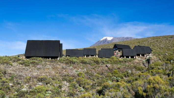
The only Kilimanjaro route with mountain huts instead of tents.
- Distancia
- 72 km
- Dificultad
- Moderada
- Alojamiento
- Refugios
- Afluencia
- Muy concurrida
 6–7 días
La ofrecemos
6–7 días
La ofrecemos
Rongai Route
The quiet northern approach, from the Kenyan border side.
- Distancia
- 73 km
- Dificultad
- Moderada
- Alojamiento
- Acampada
- Afluencia
- Tranquila
¿Listo para ascender el Mount Kilimanjaro?
Cuéntenos sus fechas, su forma física y lo que quiere ver. Le recomendaremos la montaña y la ruta que le dan las mejores opciones de una gran ascensión.
Plan Your Safari