Mount Kilimanjaro
Shira Route
A high start on the Shira Plateau, by 4x4 to 3,400 m.
- Duración
- 6–7 días
- Distancia
- 56 km
- Cumbre
- 5,895 m
- Alojamiento
- Acampada
- Afluencia
- Tranquila
- Dificultad
- Difícil
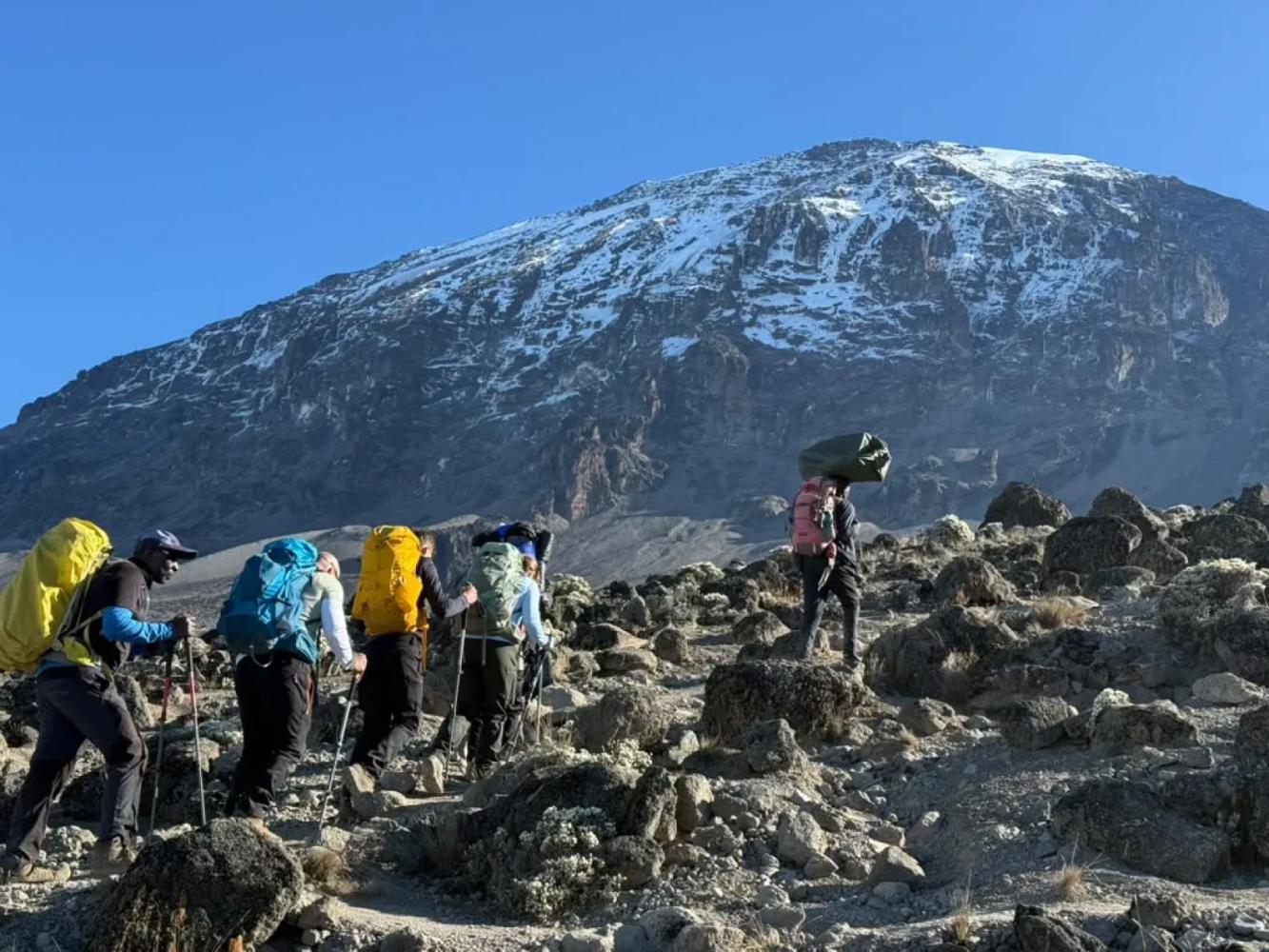
The Shira Route begins with a drive high onto the Shira Plateau, skipping the western rainforest. It then follows the Lemosho trail to the Lava Tower, Barranco and the summit. The high start makes acclimatisation the main concern.
The Shira Route is the older western approach to Kilimanjaro. After registering at Londorossi Gate, a 4x4 track climbs through the forest and moorland to Morum Barrier at about 3,400 m on the Shira Plateau, where the walk begins. From there the route crosses the plateau and follows the same trail as Lemosho to the Lava Tower, Barranco Camp and the southern circuit.
The High Start
Starting at 3,400 m is what sets Shira apart, and it is a drawback as much as an advantage. You go from Arusha at 1,400 m to sleeping above 3,500 m on the first day, without the two days of gradual climbing that Lemosho gives. Some climbers feel the altitude on the very first night. For that reason we usually recommend Lemosho instead, unless you arrive already acclimatised.
When Shira Makes Sense
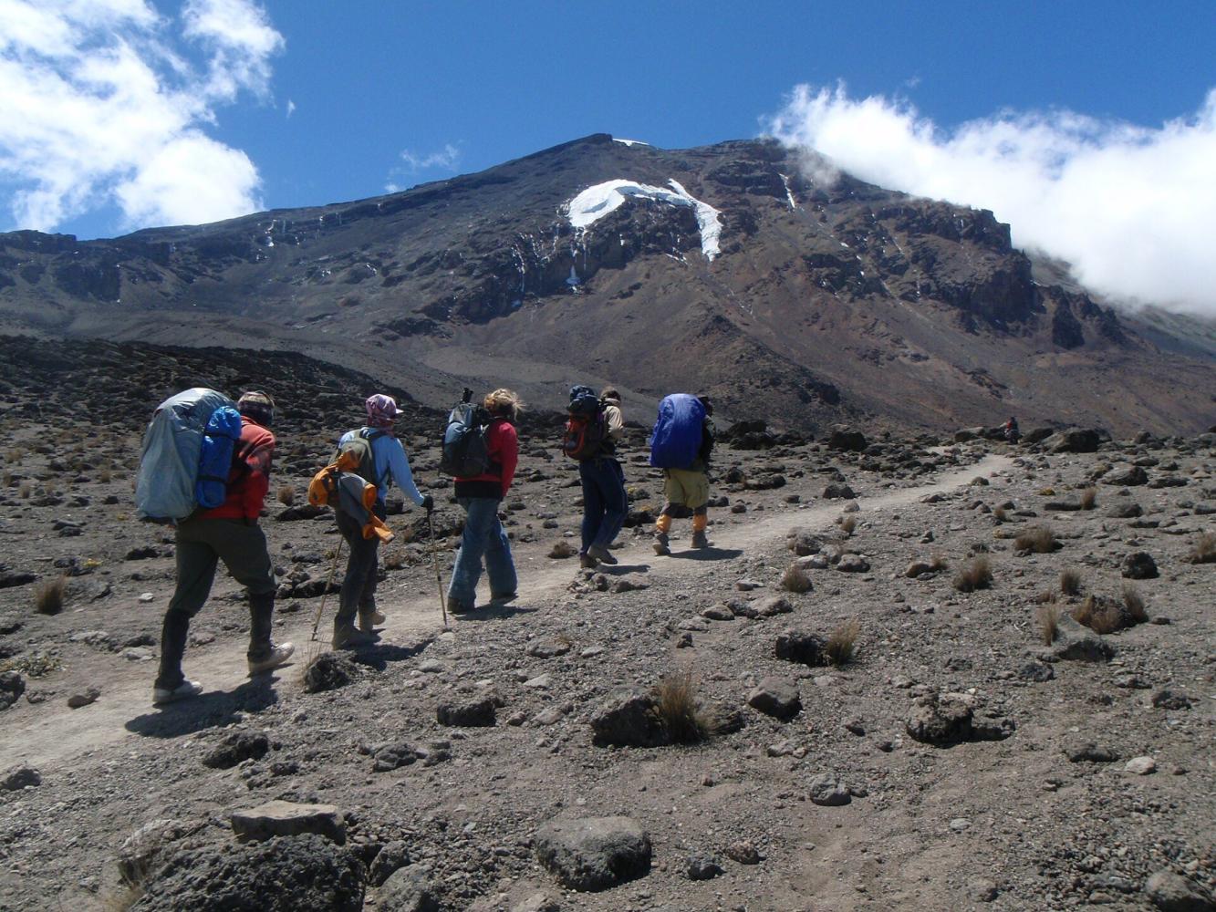
Shira is a good choice if you have just climbed Mount Meru or spent time at altitude, because your body is prepared for the high start and you save a day in the forest. The plateau itself is superb: wide open moorland, the remains of an ancient volcano, with the ridge of Shira Cathedral to the south and Kibo ahead.
To the Summit
From Shira 2 Camp the route is identical to Lemosho: up to the Lava Tower, down to Barranco, over the Barranco Wall to Karanga, and on to Barafu Camp for the summit night to Stella Point and Uhuru Peak. The descent is by the Mweka Route.
Por qué elegir esta ruta
- A drive to 3,400 m: straight onto the Shira Plateau
- Wide views across the plateau to Kibo from the first day
- The Lava Tower, Barranco Wall and southern circuit
- A natural follow-on from a Mount Meru climb
Información útil
- The high start gives little time to acclimatise: not ideal for a first climb
- You miss the western rainforest
- For most climbers, Lemosho is the better western route
- Camping only
Mapa de la ruta
Mapa de la Shira Route
El sendero tal como discurre sobre el terreno, con cada puerta, campamento y punto alto. Toque un lugar de la lista para verlo en el mapa.
Altitud
Perfil de altitud
Hasta dónde sube y dónde duerme. Las bajadas en la línea son días de «subir alto, dormir bajo», que ayudan al cuerpo a adaptarse.
Día a día
Itinerario de la Shira Route
Register at Londorossi Gate, then drive up the 4x4 track to Morum Barrier at about 3,400 m. A short, gentle walk across the plateau brings you to Shira 1 Camp. Rest and drink plenty of water: you have gained a lot of height in one day.
Noche: Shira 1 Camp
An easy day across the Shira Plateau, with an optional detour to Shira Cathedral for views over the southern edge. Short days like this are deliberate, to help you acclimatise.
Noche: Shira 2 Camp
Climb into the alpine desert to the Lava Tower at 4,630 m for lunch, then descend to Barranco Camp beneath the Great Barranco Wall. "Walk high, sleep low" is the key acclimatisation day of the climb.
Noche: Barranco Camp
Scramble up the Barranco Wall, then follow the southern circuit across ridges and valleys beneath the Heim and Kersten glaciers to Karanga Camp.
Noche: Karanga Camp
A short climb to Barafu, the high camp on a rocky ridge with views of Mawenzi. Eat early and rest: the summit climb starts around midnight.
Noche: Barafu Camp
Climb through the night to Stella Point (5,756 m) on the crater rim, then on to Uhuru Peak for sunrise. Descend to Barafu for a rest and continue down to Mweka Camp in the forest.
Noche: Mweka Camp
A final walk down through the rainforest to Mweka Gate to collect your summit certificate.
Información útil
Shira Route: preguntas frecuentes
What is the difference between the Shira and Lemosho routes? +
Both approach from the west and share the trail from Shira 1 Camp onwards. Lemosho starts on foot at about 2,100 m and walks through the rainforest for two days; Shira starts by vehicle at about 3,400 m. Lemosho gives better acclimatisation.
Is the Shira Route good for beginners? +
Not usually. Starting at 3,400 m on the first day gives the body little time to adapt. It suits trekkers who are already acclimatised, for example after climbing Mount Meru.
Comparar
Otras rutas al Mount Kilimanjaro
 6–7 días
La ofrecemos
6–7 días
La ofrecemos
The "Whiskey" Route
Machame Route
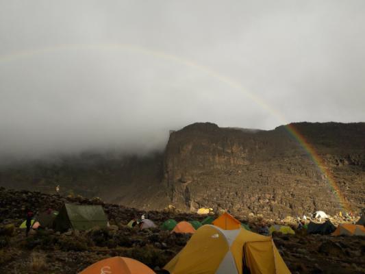
Kilimanjaro's most popular route: rainforest, the Lava Tower and the Barranco Wall.
- Distancia
- 62 km
- Dificultad
- Exigente
- Alojamiento
- Acampada
- Afluencia
- Muy concurrida
 7–8 días
La ofrecemos
7–8 días
La ofrecemos
Lemosho Route
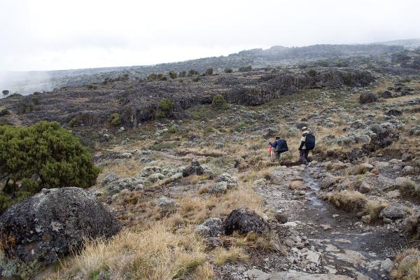
The most beautiful way up: a quiet western start across the Shira Plateau.
- Distancia
- 70 km
- Dificultad
- Exigente
- Alojamiento
- Acampada
- Afluencia
- Afluencia media
 5–6 días
The "Coca-Cola" Route
Marangu Route
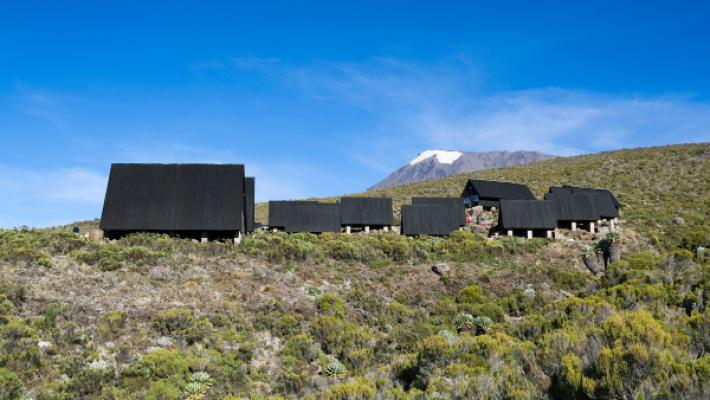
The only Kilimanjaro route with mountain huts instead of tents.
- Distancia
- 72 km
- Dificultad
- Moderada
- Alojamiento
- Refugios
- Afluencia
- Muy concurrida
¿Listo para ascender el Mount Kilimanjaro?
Cuéntenos sus fechas, su forma física y lo que quiere ver. Le recomendaremos la montaña y la ruta que le dan las mejores opciones de una gran ascensión.
Plan Your Safari