Mount Kilimanjaro
Rongai Route
The quiet northern approach, from the Kenyan border side.
- Duración
- 6–7 días
- Distancia
- 73 km
- Cumbre
- 5,895 m
- Alojamiento
- Acampada
- Afluencia
- Tranquila
- Dificultad
- Moderada
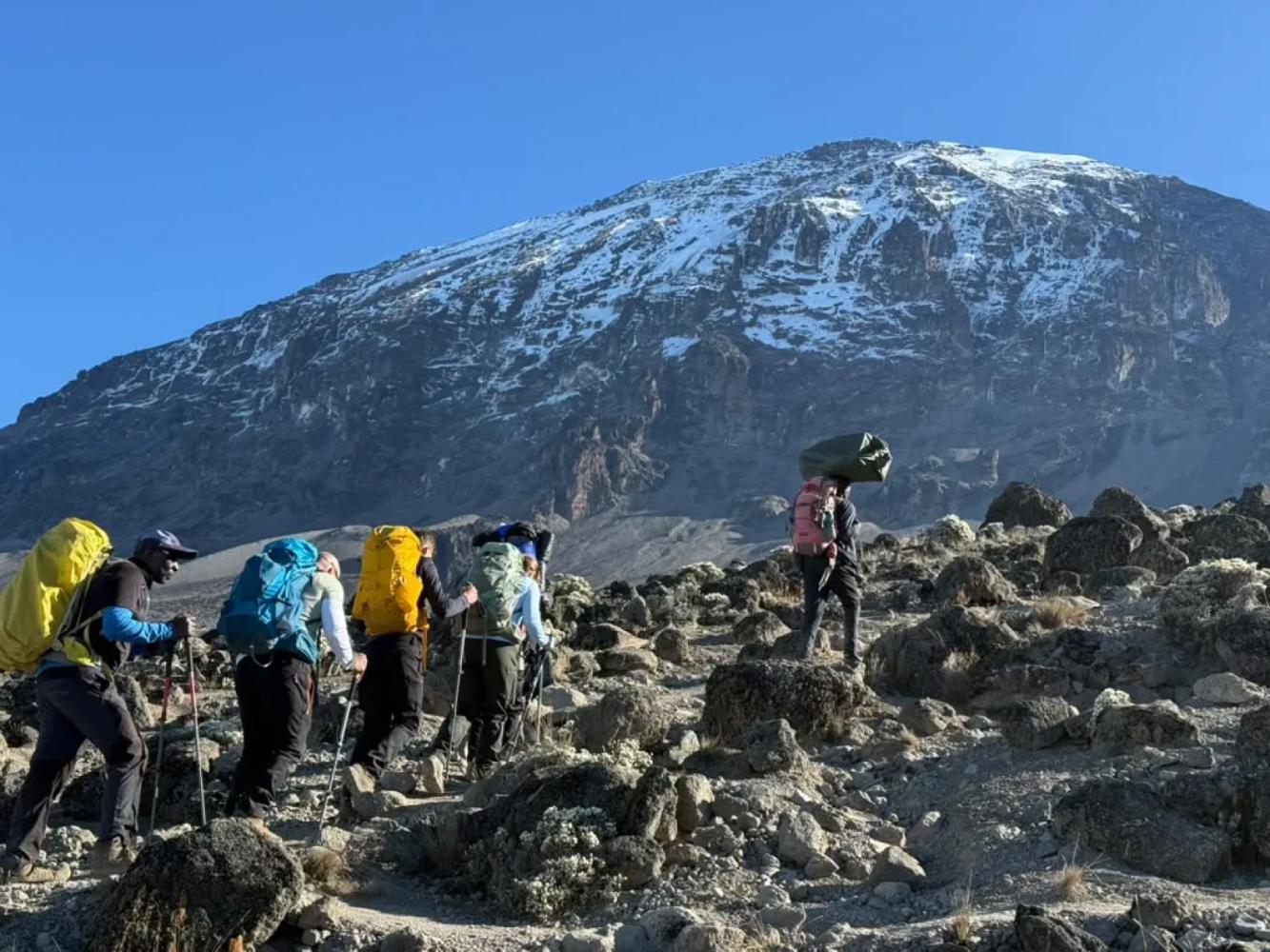
The Rongai Route is the only route that climbs Kilimanjaro from the north. It is drier and far quieter than the southern routes, passes beneath the spires of Mawenzi and descends by the Marangu Route.
The Rongai Route starts close to the Kenyan border on Kilimanjaro's northern side, a drive of several hours around the mountain from Arusha. The north lies in Kilimanjaro's rain shadow, so the slopes are drier, the forest is thinner and the trail stays in better condition when the south is wet. It is also the least crowded of the standard routes.
A Steady Climb to Mawenzi
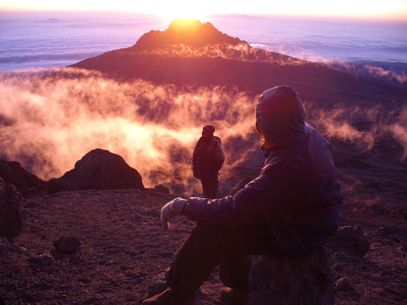
Rongai gains height gradually through farmland, pine forest and moorland, with wide views north over the Kenyan plains. The seven-day itinerary turns east to Mawenzi Tarn (4,330 m), a small lake in a cirque directly beneath the dark spires of Mawenzi, Kilimanjaro's second peak. A night here is the acclimatisation step the shorter version lacks, and one of the most dramatic camps on the mountain.
Across the Saddle
From Mawenzi Tarn the trail crosses the Saddle, the high desert between Mawenzi and Kibo, to Kibo Hut (4,720 m). The summit climb is the same as on Marangu: up the scree to Gilman's Point (5,685 m), then around the crater rim to Uhuru Peak.
Two Sides of the Mountain
Rongai descends by the Marangu Route on the south-east, so you see the dry north on the way up and the green south on the way down.
Por qué elegir esta ruta
- The quietest of the standard routes
- Drier slopes: a good choice in the wetter months
- A night at Mawenzi Tarn beneath the spires of Mawenzi
- Up the north side, down the south-east
Información útil
- A longer drive to the start, around the mountain
- Less varied forest than the southern and western routes
- No natural "walk high, sleep low" day: choose seven days for Mawenzi Tarn
- Summit via Gilman's Point adds one and a half to two hours along the crater rim
Mapa de la ruta
Mapa de la Rongai Route
El sendero tal como discurre sobre el terreno, con cada puerta, campamento y punto alto. Toque un lugar de la lista para verlo en el mapa.
Altitud
Perfil de altitud
Hasta dónde sube y dónde duerme. Las bajadas en la línea son días de «subir alto, dormir bajo», que ayudan al cuerpo a adaptarse.
Día a día
Itinerario de la Rongai Route
Este es el plan que seguimos en nuestro «Kilimanjaro, ruta Rongai – 7 días».
Un largo trayecto desde Arusha rodeando la montaña hasta el inicio del sendero Rongai, cerca de la frontera con Kenia. El sendero sube suavemente entre cultivos y un bosque de pinos hasta el primer campamento, al borde del páramo.
Noche: Campamento Simba
Una subida constante por el páramo abierto, con vistas hacia atrás sobre las llanuras de Kenia y, por delante, al Kibo y los picos dentados del Mawenzi.
Noche: Campamento Second Cave
Travesía del páramo hacia el Mawenzi hasta el campamento Kikelewa, en un valle resguardado entre senecios gigantes. Un día corto que favorece la aclimatación.
Noche: Campamento Kikelewa
Una subida corta y empinada hasta Mawenzi Tarn, un pequeño lago de montaña bajo las imponentes agujas del Mawenzi. Se recomienda una caminata de aclimatación por la tarde.
Noche: Campamento Mawenzi Tarn
Travesía del paisaje lunar del Collado, entre el Mawenzi y el Kibo, hasta Kibo Hut, al pie del cono de la cumbre. Cena temprana y descanso antes del intento de cumbre.
Noche: Kibo Hut
Salida hacia medianoche por las empinadas curvas hasta Gilman’s Point, en el borde del cráter, y después por el borde hasta el Uhuru Peak al amanecer. Descenso a Kibo Hut para descansar y continuación hasta Horombo Hut para pasar la noche.
Noche: Horombo Hut
Descenso por el páramo y la selva por la ruta Marangu hasta la puerta de Marangu. Entrega del certificado de cumbre, despedida del equipo y regreso a Arusha para celebrarlo.
Noche: Arusha
Información útil
Rongai Route: preguntas frecuentes
Is the Rongai Route good in the rainy season? +
Yes. The northern slopes receive much less rain than the south, so Rongai is the best camping route when the weather is wet.
How busy is the Rongai Route? +
It is the quietest of the standard routes until Kibo Hut, where it meets the Marangu Route for the summit climb.
Do you see wildlife on the Rongai Route? +
The lower northern slopes are among the wilder parts of Kilimanjaro, and colobus monkeys are often seen in the forest. Large animals are occasionally seen but should not be expected.
Comparar
Otras rutas al Mount Kilimanjaro
 6–7 días
La ofrecemos
6–7 días
La ofrecemos
The "Whiskey" Route
Machame Route
Kilimanjaro's most popular route: rainforest, the Lava Tower and the Barranco Wall.
- Distancia
- 62 km
- Dificultad
- Exigente
- Alojamiento
- Acampada
- Afluencia
- Muy concurrida
 7–8 días
La ofrecemos
7–8 días
La ofrecemos
Lemosho Route
The most beautiful way up: a quiet western start across the Shira Plateau.
- Distancia
- 70 km
- Dificultad
- Exigente
- Alojamiento
- Acampada
- Afluencia
- Afluencia media
 5–6 días
The "Coca-Cola" Route
Marangu Route
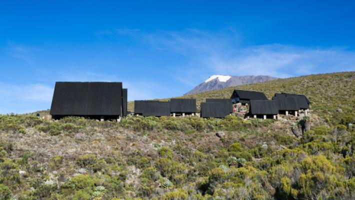
The only Kilimanjaro route with mountain huts instead of tents.
- Distancia
- 72 km
- Dificultad
- Moderada
- Alojamiento
- Refugios
- Afluencia
- Muy concurrida
¿Listo para ascender el Mount Kilimanjaro?
Cuéntenos sus fechas, su forma física y lo que quiere ver. Le recomendaremos la montaña y la ruta que le dan las mejores opciones de una gran ascensión.
Plan Your Safari