Mount Kilimanjaro
Rongai Route
The quiet northern approach, from the Kenyan border side.
- Dauer
- 6–7 Tage
- Distanz
- 73 km
- Gipfel
- 5,895 m
- Übernachtung
- Zelten
- Andrang
- Ruhig
- Schwierigkeit
- Mittel
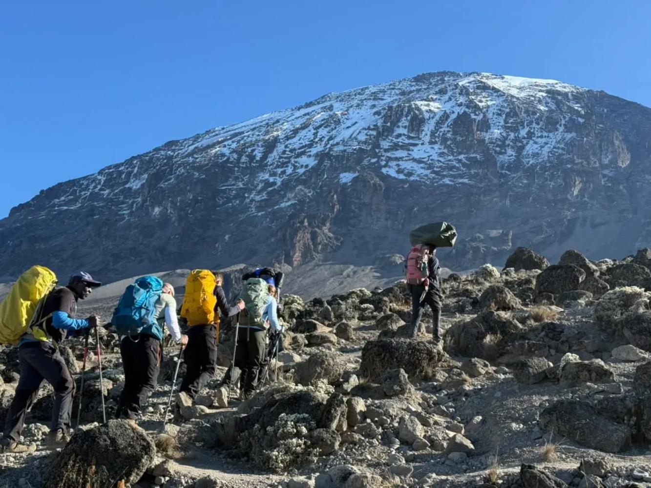
The Rongai Route is the only route that climbs Kilimanjaro from the north. It is drier and far quieter than the southern routes, passes beneath the spires of Mawenzi and descends by the Marangu Route.
The Rongai Route starts close to the Kenyan border on Kilimanjaro's northern side, a drive of several hours around the mountain from Arusha. The north lies in Kilimanjaro's rain shadow, so the slopes are drier, the forest is thinner and the trail stays in better condition when the south is wet. It is also the least crowded of the standard routes.
A Steady Climb to Mawenzi
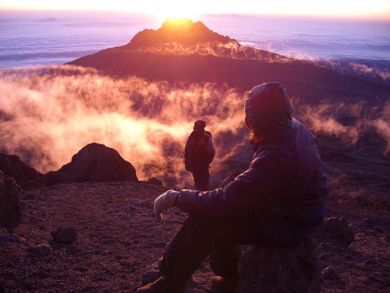
Rongai gains height gradually through farmland, pine forest and moorland, with wide views north over the Kenyan plains. The seven-day itinerary turns east to Mawenzi Tarn (4,330 m), a small lake in a cirque directly beneath the dark spires of Mawenzi, Kilimanjaro's second peak. A night here is the acclimatisation step the shorter version lacks, and one of the most dramatic camps on the mountain.
Across the Saddle
From Mawenzi Tarn the trail crosses the Saddle, the high desert between Mawenzi and Kibo, to Kibo Hut (4,720 m). The summit climb is the same as on Marangu: up the scree to Gilman's Point (5,685 m), then around the crater rim to Uhuru Peak.
Two Sides of the Mountain
Rongai descends by the Marangu Route on the south-east, so you see the dry north on the way up and the green south on the way down.
Warum diese Route
- The quietest of the standard routes
- Drier slopes: a good choice in the wetter months
- A night at Mawenzi Tarn beneath the spires of Mawenzi
- Up the north side, down the south-east
Gut zu wissen
- A longer drive to the start, around the mountain
- Less varied forest than the southern and western routes
- No natural "walk high, sleep low" day: choose seven days for Mawenzi Tarn
- Summit via Gilman's Point adds one and a half to two hours along the crater rim
Routenkarte
Karte: Rongai Route
Der Weg, wie er im Gelände verläuft, mit jedem Tor, Camp und Hochpunkt. Tippen Sie auf einen Ort in der Liste, um ihn auf der Karte zu finden.
Höhe
Höhenprofil
Wie hoch Sie steigen und wo Sie schlafen. Senken in der Linie sind Tage nach dem Prinzip „hoch gehen, tief schlafen“, die dem Körper bei der Anpassung helfen.
Tag für Tag
Reiseverlauf: Rongai Route
Diesem Plan folgen wir bei unserer Tour „Kilimandscharo, Rongai-Route – 7 Tage“.
Eine lange Fahrt von Arusha um den Berg herum zum Rongai-Ausgangspunkt nahe der kenianischen Grenze. Der Weg steigt sanft durch Felder und Kiefernwald zum ersten Camp am Rand des Moorlands.
Übernachtung: Simba Camp
Ein gleichmäßiger Aufstieg durch offenes Moorland, mit Blick zurück über die Ebenen Kenias und nach vorn auf den Kibo und die zackigen Gipfel des Mawenzi.
Übernachtung: Second Cave Camp
Über das Moorland in Richtung Mawenzi zum Kikelewa Camp, das geschützt in einem Tal zwischen Riesensenecien liegt. Ein kurzer Tag, der die Akklimatisierung unterstützt.
Übernachtung: Kikelewa Camp
Ein kurzer, steiler Aufstieg zum Mawenzi Tarn, einem kleinen Bergsee unter den mächtigen Spitzen des Mawenzi. Eine Akklimatisierungswanderung am Nachmittag ist empfehlenswert.
Übernachtung: Mawenzi Tarn Camp
Durchquerung der Mondlandschaft des Sattels zwischen Mawenzi und Kibo zur Kibo Hut am Fuß des Gipfelkegels. Frühes Abendessen und Ruhe vor dem Gipfelversuch.
Übernachtung: Kibo Hut
Aufbruch gegen Mitternacht über steile Serpentinen zum Gilman’s Point am Kraterrand, dann am Kraterrand entlang zum Uhuru Peak bei Sonnenaufgang. Abstieg zur Kibo Hut für eine Pause und weiter hinunter zur Horombo Hut für die Nacht.
Übernachtung: Horombo Hut
Abstieg durch Moorland und Regenwald auf der Marangu-Route zum Marangu-Tor. Überreichung der Gipfelurkunde, Abschied von der Crew und Rückfahrt nach Arusha zum Feiern.
Übernachtung: Arusha
Gut zu wissen
Rongai Route: Häufige Fragen
Is the Rongai Route good in the rainy season? +
Yes. The northern slopes receive much less rain than the south, so Rongai is the best camping route when the weather is wet.
How busy is the Rongai Route? +
It is the quietest of the standard routes until Kibo Hut, where it meets the Marangu Route for the summit climb.
Do you see wildlife on the Rongai Route? +
The lower northern slopes are among the wilder parts of Kilimanjaro, and colobus monkeys are often seen in the forest. Large animals are occasionally seen but should not be expected.
Vergleichen
Weitere Routen auf den Mount Kilimanjaro
 6–7 Tage
Bieten wir an
6–7 Tage
Bieten wir an
The "Whiskey" Route
Machame Route
Kilimanjaro's most popular route: rainforest, the Lava Tower and the Barranco Wall.
- Distanz
- 62 km
- Schwierigkeit
- Anspruchsvoll
- Übernachtung
- Zelten
- Andrang
- Stark besucht
 7–8 Tage
Bieten wir an
7–8 Tage
Bieten wir an
Lemosho Route
The most beautiful way up: a quiet western start across the Shira Plateau.
- Distanz
- 70 km
- Schwierigkeit
- Anspruchsvoll
- Übernachtung
- Zelten
- Andrang
- Mäßig besucht
 5–6 Tage
The "Coca-Cola" Route
Marangu Route
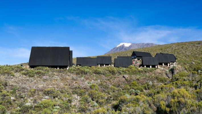
The only Kilimanjaro route with mountain huts instead of tents.
- Distanz
- 72 km
- Schwierigkeit
- Mittel
- Übernachtung
- Berghütten
- Andrang
- Stark besucht
Bereit für den Mount Kilimanjaro?
Nennen Sie uns Ihre Reisedaten, Ihre Fitness und was Sie sehen möchten. Wir empfehlen Ihnen den Berg und die Route mit den besten Chancen auf eine großartige Besteigung.
Plan Your Safari