Mount Kilimanjaro
Rongai Route
The quiet northern approach, from the Kenyan border side.
- Durée
- 6 à 7 jours
- Distance
- 73 km
- Sommet
- 5,895 m
- Hébergement
- Camping
- Affluence
- Calme
- Difficulté
- Modérée
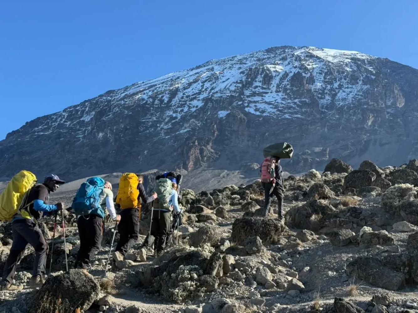
The Rongai Route is the only route that climbs Kilimanjaro from the north. It is drier and far quieter than the southern routes, passes beneath the spires of Mawenzi and descends by the Marangu Route.
The Rongai Route starts close to the Kenyan border on Kilimanjaro's northern side, a drive of several hours around the mountain from Arusha. The north lies in Kilimanjaro's rain shadow, so the slopes are drier, the forest is thinner and the trail stays in better condition when the south is wet. It is also the least crowded of the standard routes.
A Steady Climb to Mawenzi
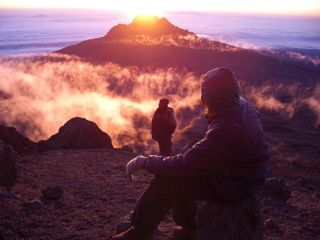
Rongai gains height gradually through farmland, pine forest and moorland, with wide views north over the Kenyan plains. The seven-day itinerary turns east to Mawenzi Tarn (4,330 m), a small lake in a cirque directly beneath the dark spires of Mawenzi, Kilimanjaro's second peak. A night here is the acclimatisation step the shorter version lacks, and one of the most dramatic camps on the mountain.
Across the Saddle
From Mawenzi Tarn the trail crosses the Saddle, the high desert between Mawenzi and Kibo, to Kibo Hut (4,720 m). The summit climb is the same as on Marangu: up the scree to Gilman's Point (5,685 m), then around the crater rim to Uhuru Peak.
Two Sides of the Mountain
Rongai descends by the Marangu Route on the south-east, so you see the dry north on the way up and the green south on the way down.
Pourquoi choisir cette voie
- The quietest of the standard routes
- Drier slopes: a good choice in the wetter months
- A night at Mawenzi Tarn beneath the spires of Mawenzi
- Up the north side, down the south-east
Bon à savoir
- A longer drive to the start, around the mountain
- Less varied forest than the southern and western routes
- No natural "walk high, sleep low" day: choose seven days for Mawenzi Tarn
- Summit via Gilman's Point adds one and a half to two hours along the crater rim
Carte de la voie
Carte de la Rongai Route
Le sentier tel qu’il est sur le terrain, avec chaque porte, camp et point haut. Touchez un lieu dans la liste pour le trouver sur la carte.
Altitude
Profil d’altitude
Jusqu’où vous montez, et où vous dormez. Les creux de la courbe sont des journées « monter haut, dormir bas », qui aident votre corps à s’adapter.
Jour par jour
Itinéraire de la Rongai Route
Voici le programme de notre circuit « Kilimandjaro, voie Rongai – 7 jours ».
Un long trajet depuis Arusha en contournant la montagne jusqu’au départ du sentier Rongai, près de la frontière kényane. Le sentier monte doucement à travers les cultures et une forêt de pins jusqu’au premier camp, à la lisière de la lande.
Nuit: Camp Simba
Une montée régulière à travers la lande ouverte, avec vue en arrière sur les plaines du Kenya et, devant, sur le Kibo et les sommets déchiquetés du Mawenzi.
Nuit: Camp Second Cave
Traversée de la lande en direction du Mawenzi jusqu’au camp Kikelewa, installé dans une vallée abritée parmi les séneçons géants. Une courte journée qui favorise l’acclimatation.
Nuit: Camp Kikelewa
Une montée courte et raide jusqu’à Mawenzi Tarn, un petit lac de montagne au pied des imposantes aiguilles du Mawenzi. Une marche d’acclimatation l’après-midi est recommandée.
Nuit: Camp Mawenzi Tarn
Traversée du paysage lunaire de la Selle, entre le Mawenzi et le Kibo, jusqu’à Kibo Hut, au pied du cône sommital. Dîner tôt et repos avant la tentative au sommet.
Nuit: Kibo Hut
Départ vers minuit par les lacets raides jusqu’à Gilman’s Point sur le bord du cratère, puis le long du cratère jusqu’à l’Uhuru Peak au lever du soleil. Descente à Kibo Hut pour une pause, puis jusqu’à Horombo Hut pour la nuit.
Nuit: Horombo Hut
Descente à travers la lande et la forêt tropicale par la voie Marangu jusqu’à la porte de Marangu. Remise du certificat de sommet, au revoir à l’équipe et retour à Arusha pour fêter l’ascension.
Nuit: Arusha
Bon à savoir
Rongai Route : questions fréquentes
Is the Rongai Route good in the rainy season? +
Yes. The northern slopes receive much less rain than the south, so Rongai is the best camping route when the weather is wet.
How busy is the Rongai Route? +
It is the quietest of the standard routes until Kibo Hut, where it meets the Marangu Route for the summit climb.
Do you see wildlife on the Rongai Route? +
The lower northern slopes are among the wilder parts of Kilimanjaro, and colobus monkeys are often seen in the forest. Large animals are occasionally seen but should not be expected.
Comparer
Autres voies du Mount Kilimanjaro
 6 à 7 jours
Nous la proposons
6 à 7 jours
Nous la proposons
The "Whiskey" Route
Machame Route
Kilimanjaro's most popular route: rainforest, the Lava Tower and the Barranco Wall.
- Distance
- 62 km
- Difficulté
- Exigeante
- Hébergement
- Camping
- Affluence
- Très fréquentée
 7 à 8 jours
Nous la proposons
7 à 8 jours
Nous la proposons
Lemosho Route
The most beautiful way up: a quiet western start across the Shira Plateau.
- Distance
- 70 km
- Difficulté
- Exigeante
- Hébergement
- Camping
- Affluence
- Fréquentation moyenne
 5 à 6 jours
The "Coca-Cola" Route
Marangu Route
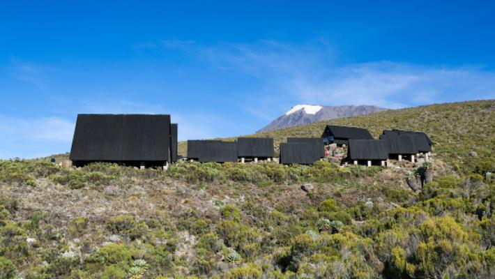
The only Kilimanjaro route with mountain huts instead of tents.
- Distance
- 72 km
- Difficulté
- Modérée
- Hébergement
- Refuges
- Affluence
- Très fréquentée
Prêt à gravir le Mount Kilimanjaro ?
Indiquez-nous vos dates, votre forme et ce que vous souhaitez voir. Nous vous recommanderons la montagne et la voie qui vous offrent les meilleures chances d’une belle ascension.
Plan Your Safari