
Kilimanjaro Mountain Bike Tour
Distance
50.3 km (31 mi) by bike
Riding time
6–7 hours
Difficulty
Challenging
Highest point
3,850 m (12,631 ft)
Price
$200 per person, as an add-on
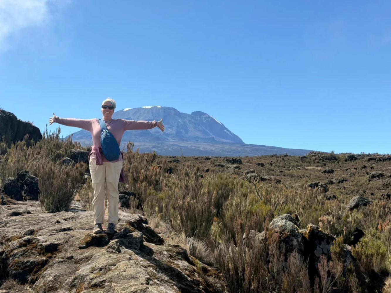
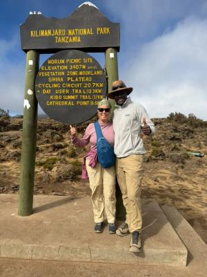
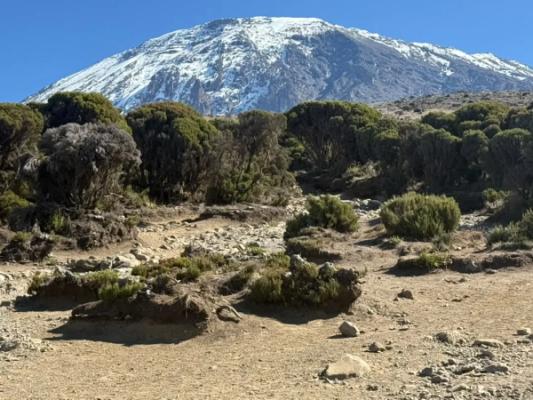
Kilimanjaro National Park (KINAPA) has opened the mountain to mountain bikes on its 4WD tracks, and the western side is the finest place to ride. This day tour climbs from Londorosi Gate on the north-western slope, at about 2,250 m (7,382 ft), up the Shira Service Road through the forest and the heather and moorland zone to the Morum picnic site at 3,407 m (11,178 ft), then out onto the Shira Plateau, an ancient collapsed volcano, to Shira 1 Camp (3,610 m (11,844 ft)) and Shira 2 Camp (3,850 m (12,631 ft)) beneath the glaciers of Kibo. The way back is one long descent to the gate.
The ride
- About 50 km (31 mi) there and back, with around 1,600 m (5,249 ft) of climbing on gravel and dirt tracks.
- 6 to 7 hours on the mountain, starting early from Moshi or West Kilimanjaro, with a packed lunch on the plateau.
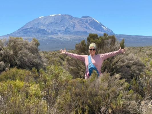
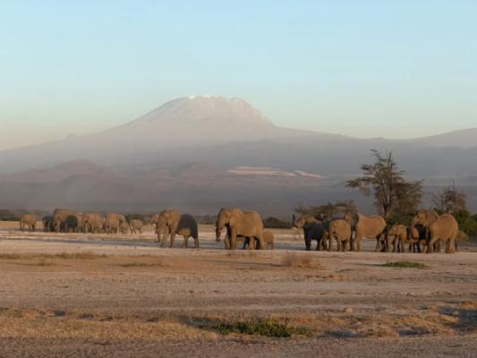
- Views of Kibo’s summit and, below, the Maasai plains of West Kilimanjaro towards Amboseli.
Who it is for
This is a demanding ride for fit, experienced mountain bikers. Above 3,500 m (11,483 ft) the air holds much less oxygen, so you ride slowly, drink plenty and turn back if you feel unwell; spending a night or two in Arusha or West Kilimanjaro first helps. Always wear a helmet. As everywhere in the park, you stay on the tracks and ride with a licensed guide.
Park fees
Riders pay Kilimanjaro National Park entry fees plus a daily cycling fee set by KINAPA.
To the summit by bike
KINAPA also allows summit expeditions by bike from the Kilema side, following the 4WD track to Horombo and on to Kibo Hut. Bikes are carried on the steep section to Gillman’s Point and ridden from Stella Point to Uhuru Peak (5,895 m (19,341 ft)). It is a serious, multi-day expedition for very experienced riders; ask us and we will plan it with you.
What’s Included
Included
- Professional cycling guide
- Mountain bike, set up for your height
- Helmet
- Bottled drinking water
- Soft drinks and juices
- Coffee or tea break
- Snacks and fresh fruit
- Support vehicle carrying the bikes, water and spares
- Repair kit, pump and spare tubes
- First-aid kit
Cycling Route
The route as it runs on the ground, mapped on OpenStreetMap. The solid line is the ride out and the dashed line the way back. Press a stop in the list to find it on the map. About 1,600 m (5,249 ft) of climbing in all.
Elevation Profile
Gallery
Guided Bike Rides
More Rides

6.7 km (4.2 mi) by bike · 1.5–2 hours · Easy
Lake Duluti Bike Ride
Arusha
21.2 km (13 mi) by bike · 2.5–3.5 hours · Easy to moderate
West Kilimanjaro Bike Ride
West Kilimanjaro
28 km (17 mi) by bike · 1.5–2 hours · Easy to moderate
Arusha Cycling Tour
Arusha
Add a Bike Ride to Your Trip
Tell us about your trip and we will fit the ride into your itinerary.
Plan Your Safari