Mount Hanang
Katesh (Jorodom) Route
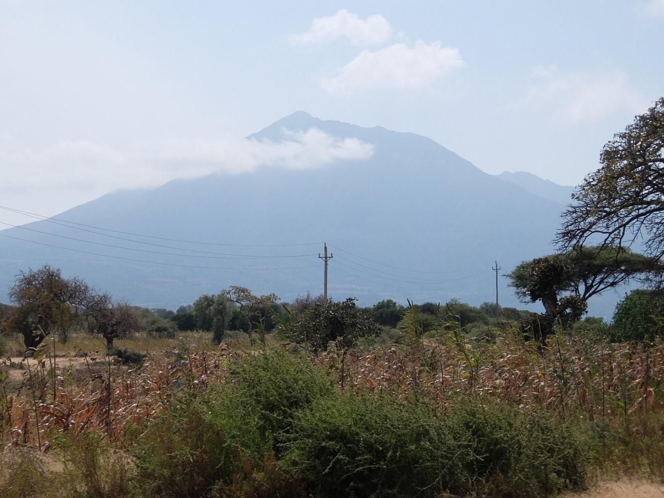
The main route up Mount Hanang, from the town of Katesh.
Photo: Macabe5387, CC BY-SA 4.0
- Duration
- 1–2 days
- Summit
- 3,420 m
- Sleeping
- Camping
- Crowds
- Quiet
- Difficulty
- Challenging
The Katesh Route, also called the Jorodom Route, is the most used trail up Mount Hanang. It climbs the southern slopes from Katesh through farmland and forest to the summit ridge at 3,420 m, in one long day or two days with a camp.
The Katesh Route starts just above the small town of Katesh, at the southern foot of Mount Hanang, and is named after the Jorodom area where the trail begins. The mountain lies inside the Mount Hanang Nature Forest Reserve, managed by the Tanzania Forest Services Agency, and a local guide accompanies every climb.
From Farmland to the Ridge
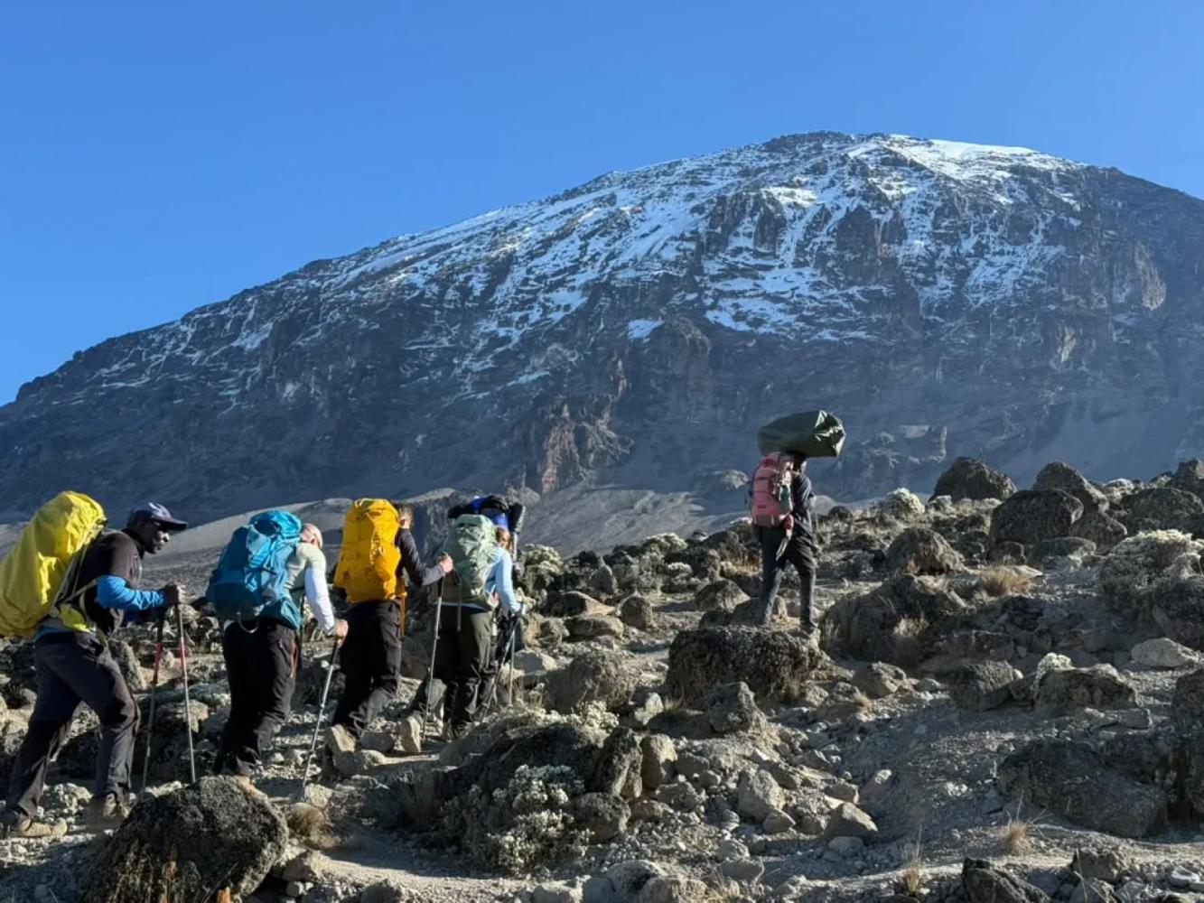
The trail leaves the fields and pastures around Katesh and climbs steeply through montane forest, then heath and open grassland. Above the treeline it follows the crest of the old crater rim, a long, airy ridge with several false summits before the true top at 3,420 m.
One Day or Two
Strong walkers can climb Hanang and return in a single day of about nine to ten hours, starting before dawn. Taking two days is more enjoyable: you camp on the mountain, reach the summit for sunrise and descend at an easier pace.
The View From the Top
Hanang stands alone above the plains, so the summit view is uninterrupted: the soda flats of Lake Balangida to the north, the wall of the Rift Valley escarpment and, in very clear weather, the distant outlines of Mount Meru and Kilimanjaro.
Why Choose This Route
- Tanzania's fourth-highest mountain, with almost no other climbers
- A long summit ridge along the old crater rim
- Views over Lake Balangida and the Rift Valley escarpment
- Can be combined with a visit to Barabaig communities near Katesh
Good to Know
- A steep and sustained climb with no huts or facilities
- There is no reliable water on the upper mountain: carry all you need
- The ridge is exposed to wind and sun
- A reserve permit and a local guide are required
Route Map
Map of the Katesh (Jorodom) Route
The trail as it runs on the ground, with every gate, camp and high point. Press a place in the list to find it on the map.
Day by Day
Katesh (Jorodom) Route Itinerary
Drive from Katesh to the Jorodom trailhead, meet your guide and climb through farmland and forest to a campsite on the ridge. Watch the sun set over the plains.
Overnight: Mountain camp
Start before dawn and follow the ridge over its false summits to the top for sunrise. Return to camp for breakfast, then descend to the trailhead and Katesh.
Good to Know
Katesh (Jorodom) Route: Frequently Asked Questions
How long does it take to climb Mount Hanang? +
Fit walkers can do it in one long day of nine to ten hours. Most people prefer two days with a night camping on the mountain.
Do you need a guide for Mount Hanang? +
Yes. The mountain is in a nature forest reserve, and a permit and a local guide are required.
Are there other routes up Mount Hanang? +
Yes. Besides the Katesh (Jorodom) Route on the south side, there are trails from Gendabi on the west and from Barjomot, near Gitting, on the northern side. Katesh is the most used and the easiest to arrange.
Ready to Climb Mount Hanang?
Tell us your dates, your fitness and what you want to see. We will recommend the mountain and route that give you the best chance of a great climb.
Plan Your Safari